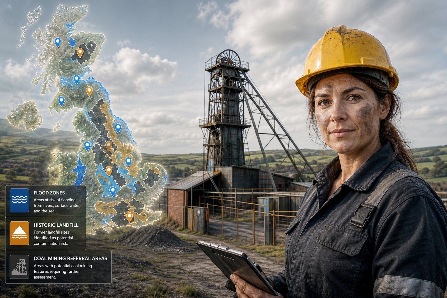
What’s included in this section
- Flood Map for Planning zone (1 / 2 / 3) with extents on a map
- Coal Authority mining reporting or high-risk area flags
- Nearby historic landfill tips with distances
- Shown separately from the live flood-warning picture
Section 5 · Homebuyer Report
What sits under the soil matters as much as the kitchen. Planning flood zones, coal referral areas and historic landfill tips are plotted around the pin.
This section is spatial open-data intelligence: planning flood zones, mining referral geography and historic landfill locations near the address. It helps you spot when a full environmental or mining search is non-negotiable.
Always instruct a conveyancer for mining and environmental searches on exchange. Open snapshots are not a substitute for professional searches.
No — it is an early open-data screen to highlight issues worth escalating to your solicitor.