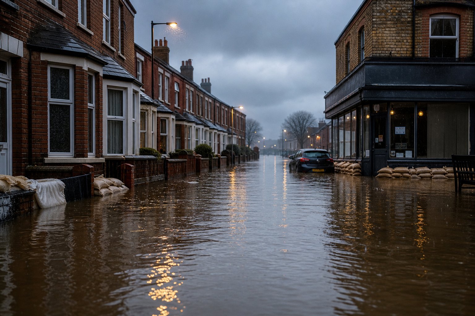
What’s included in this section
- Rivers/sea and surface-water risk levels from EA monitoring context
- Flood-risk map centred on the property
- Counts of live alerts and nearby warning areas
- Clear caveats pointing you to official long-term flood maps
Section 5 · Homebuyer Report
Flood risk moves insurance and peace of mind. We pull Environment Agency monitoring context around the pin so you see the neighbourhood picture early.
Buyers often discover flood history too late. This section summarises the indicative Environment Agency picture for the area — useful for due diligence conversations with your surveyor and insurer.
It is not a substitute for the official GOV.UK long-term flood risk map, a Flood Map for Planning extract, or a specialist flood survey. Treat it as an early screen, then instruct professionals before exchange.
No. Use it to ask better questions early. Your conveyancer’s searches remain essential.